Name the exact site
Avoid relying on a generic “near Quito” label.
Confirm access, weather, providers and prices for your dates.
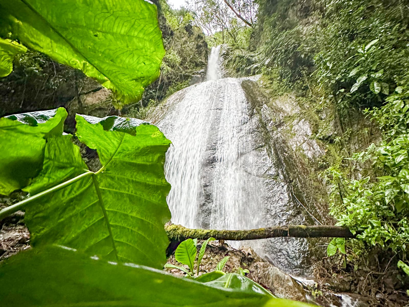
Waterfall planning from a cloud forest base
Choose a waterfall experience by current access, terrain and travel logistics—not by a photograph alone. Confirm the route, transport, guide needs, fees and weather before leaving.
Compare the plan
A useful waterfall plan answers access and safety questions before it adds another stop.
Ask whether the site is open, how entry works, whether advance coordination is needed and which route is currently recommended.
Explore →02MovementCompare distance, elevation, surface, river crossings, steps and physical demands with every traveler in the group.
Explore →03TimingAllow daylight and extra margin for rain, traffic, slow terrain and changing mountain road conditions.
Explore →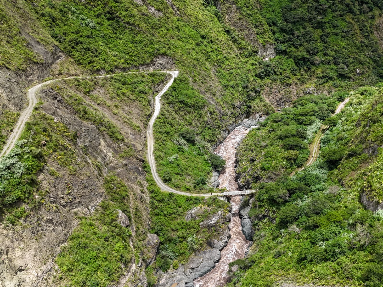
Choose carefully
The closest or most photographed waterfall is not automatically the best option. Use current information to compare effort, access and logistics.
Before you go
Treat the plan as provisional until the current conditions and service arrangements are clear.
Avoid relying on a generic “near Quito” label.
Confirm transport, guide, entry, meeting point and price.
Weather and access can change after the booking is made.
FAQ
Clear answers for decisions based on current information.
Do not assume a waterfall is on the property. Ask which sites are currently recommended, where they are and how access works.
Inclusions vary. Confirm transportation, guiding, entry fees, equipment, meeting point and payment directly before the outing.
Suitability depends on distance, surface, elevation, weather, river conditions and individual mobility. Request current difficulty details and choose conservatively.
Yes. Rain can affect visibility, roads, trail surfaces, water levels and access. Keep a lower-effort alternative and follow current local guidance.